描述
Feature:
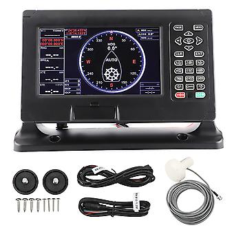
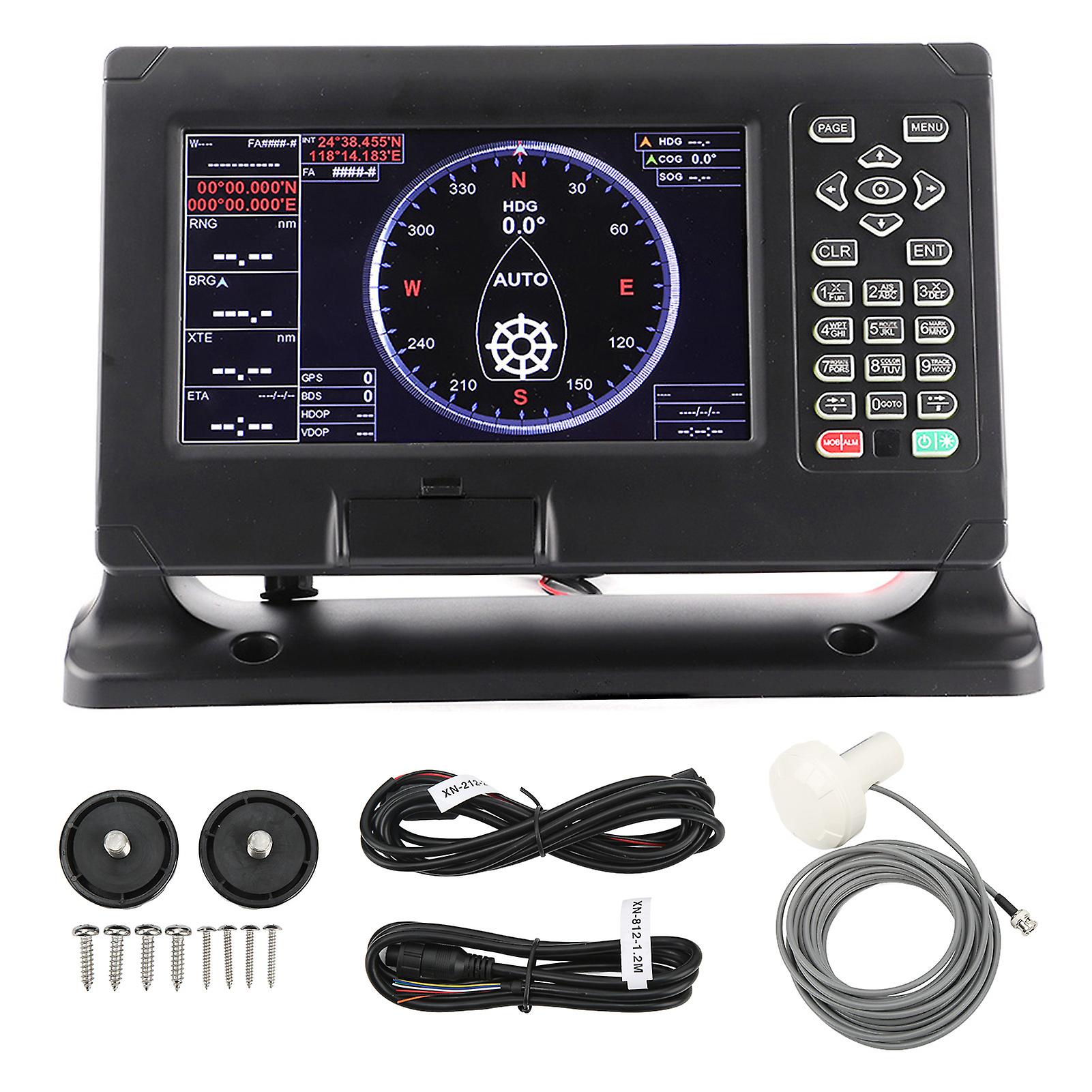
1. LCD Display: 8 inch color LCD display, 800x480 resolution, high definition, with wide angle of view. Built in global chart, more dependable to use.
2. Dual Chart System: Support C‑MAP and for XINUO‑MAP dual chart systems for user to choose. Support external for XINUO remote control.
3. High Accuracy: Professional manufacturing, GPS and Beidou satellites can provide more accurate positon information, suitable for marine sailing.
4. Easy to Use: Keyboard design, more convenient and quick. Multi language support and 6 display modes, meet your different needs.
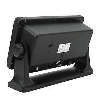
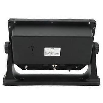
5. Weatherproof: IPX65 waterproof, can adapt to the harsh marine environment. Designed for desk mounting, flush mounting and other installation methods.
Specification:
Item Type: Marine GPS Navigator
Material: ABS
Display Type: Color TFT LCD
Display Screen Size: 8in
Display Resolution: 800 x 480 Pixels (WVGA)
Display Brightness: 450cd/M ²
Language: Chinese, English, Korean, Malaysian, Türkiye, Thai, Greek, Indonesian, Japanese, Spanish, French
Chart Range: Built in global charts (except for North and South Poles, North America, and Arctic Ocean, which can be imported by customers if necessary)
Extension Range: Support the import and export of data from USB flash disk under 16GB (without memory card)
Screen mode
Classic mode: standard screen, data screen, navigation screen, full screen screen, 3D navigation, 3D+chart, compass screen
Practical mode: standard chart picture, simple chart picture, full screen chart, navigation data, GNSS, 3D navigation, compassstorage capacity
Classic mode: 50000 waypoints, 50000 marker points, 500 routes, 1000 tracks
Practical mode: 50000 waypoints, 50000 marker points, 500 routes, 200 points and 1000 tracks for one route
Interface: 2 channel for NMEA0183 output, 2 channel for NMEA0183 input (independent of each other, baud rate can be set independently)
Power Supply: DC 12V To 36V
Working Temperature: - 15 ℃-+55 ℃
Storage Temperature: - 20 ℃-+60 ℃
Water Resistance: IPX65
GNSS:
GNSS Receiver: 72 Channels (Supporting WAAS/EGNOS/MSAS/GAGAN)
Receiving Frequency: L1 (1575.42MHz) B1 (1561.098MHz)
Positioning Accuracy: GPS&BDS 2.5m
GPS: 5m
BDS: 5m
Speed Accuracy: 0.1m/S (50% at. 10m/S)
Acquisition Time: Cold Start:<30s, Hot Start:<1s
Tracking Speed: 999 Knots
Coordinate System: WGS-84 (And Others)
Compliance With Specifications:
IEC 60945: 2002 EMC related projects
ETSI EN 301 489-1V1.8.1:2008 EMC related projects
IEC 60950-1: 2006
ETSI EN 301 489-3 V1.4.1:2002 EMC related projects
IEC 60529:2006 EMC related projects
ETSI EN 300 440-2 V1.4.1:2010 False related items
ETSI EN 300 440-1 V1.6.1:2010 False related items5.
Package List:
1 x
Marine GPS Navigator1 x Bracket1 x Antenna2 x Wire Harness1 x Pack of Accessories (10pcs)1 x Manual
-
Fruugo ID:
416976297-879919311
-
EAN:
7654738381516